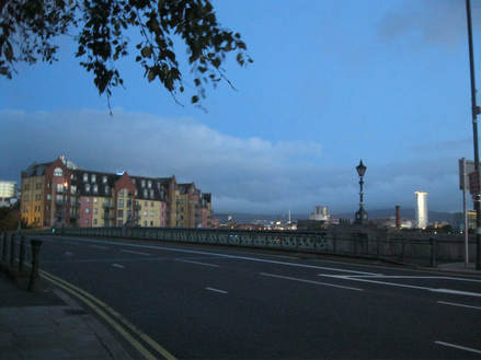
 Belfast in the soft light of morning (how poetical I can be) Belfast in the soft light of morning (how poetical I can be) Greetings, humans! Well, we forgot that Dublin Airport isn’t Stansted and after finishing security well over an hour before our gate will even be announced, I’d better occupy my time filling you in on the day’s events. And I’ll watch some planes taxiing and occasionally flying away through the window. So, we left our cosy little AirBnb room very early in the morning (6am) although it already feels like a long time ago, it was another action packed day. It was still dark when we left, strangely pleasant though, our way lit only by street lights. We made our way back to Beersbridge Road and crossed the bridge onto East Street, where we arrived at Belfast Central Station. We collected our ticket which we’d been organised about and pre-ordered online. We were pleased with this, only £11 for a 2 ¼ hour train journey. Not bad, especially as it would have been £30 if we’d paid on the day. We were at the station so early the platforms weren’t even open yet (I didn’t even know this was a concept!). Our 6:45am train was the second train of the day (sorry, I can’t remember where the first train went, but it was somewhere in Northern Ireland). After, admittedly, not that long, we were allowed to descend en masse onto the platform. Well, a ticket-person (I’m sure there’s a technical term) had to hole-punch our tickets before letting us onto the platform, which was actually a fair walk from the ticket and information area. The train was there and we boarded straight away. We found a nice comfy seat in the corner and settled in for the journey. Charlie’s Travel Album once again surged through the headphones as the train pulled away and we were off! Soon, Belfast (a city I have decided I like very much) disappeared behind us. 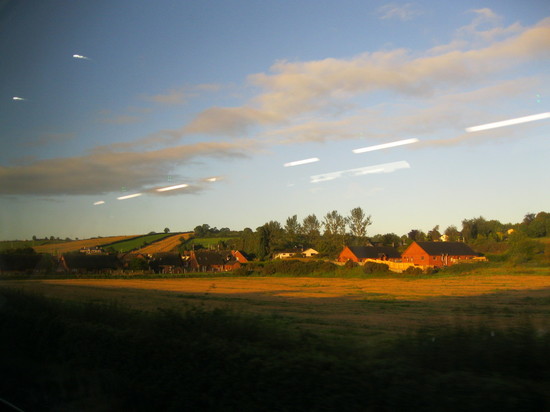 Stunning. Need I say more Stunning. Need I say more Then we were in countryside, rolling hills and villages. Picturesque! The train began to fill up quickly, there were only three stops in Northern Ireland (Belfast, Portadown and Newry), but before we crossed the border, the train’s seats were full to bursting but I’m happy to say no one had to stand. At least two of the three humans who joined us around the table were Irish. They spoke to each other in the wonderfully musical Irish accent – I now understand why people like it so much. One hour after we left, we were over the border and stopping at our first Irish station, Dundalk, right on the border. Drogheda was the next station and then we had arrived in Dublin. We’re here! We disembarked in Ireland, land of the potatoes and home of the leprechauns! Not that we saw any leprechauns, although Charlie did have some fancy potatoes for dinner, on which more later. On the train we had made a worrying discovery that our compass seemed to be broken. It now pointed East (which I vote means it isn’t broken, as long as it always points East), meaning our train was apparently heading East into the Irish Sea, and not South as it should have been. When it became clear we hadn’t ended up in the sea, we started to wonder what had happened to this supposedly tough old compass. But never fear, once we had left the train, it returned to normal, again pointing North. Phew! All the electronics in the train must have scrambled it. Oh well, problem solved. Not that we used the compass at all in Belfast and Charlie pretty much just used the sun as a compass today (this is a special skill requiring knowledge of the time – difficult as it is always changing – and the ability to remember which direction the sun moves across the sky). This technique does not, of course, work at night or if it is incredibly cloudy. 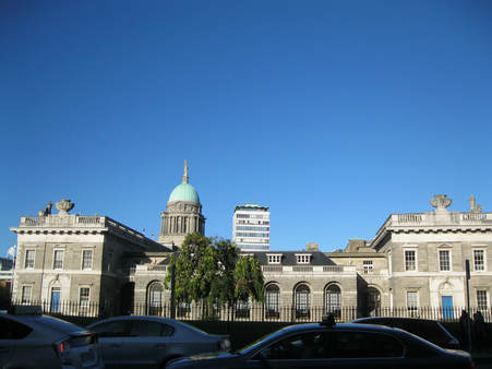 The first fancy building we came upon in Dublin The first fancy building we came upon in Dublin Anyway, we were on a lighthouse hunt! Our first task was to walk directly south until we reached the River Liffey (oh, why?) which was as large and terrifying as I had feared. We crossed a reasonably large bridge and walked east (almost directly into the sun at this time of day), where we were mostly blinded and had to keep looking at the river. We ended up inside a diving bell which was quite interesting, it allowed workers to breathe underwater and carry out construction work. And it was bright orange, not as good as pink, but close. Soon we had to stop walking east because road works closed the road, we had to detour via the Grand Canal (we’ll discuss in more detail later) which we had to cross via a perilous lock. Ok, actually it was quite sturdy, but you can’t be too careful. Then we passed a mouldering old wreck of a boat. Poor thing. We returned to walking along the river after a brief wiggle through some residential streets. Ooh, the sun is just setting outside the airport and loads of colourful lights have come on. Pretty! Sorry, I was distracted. Back to the river (please, no). We wandered purposefully along a river side road, passed a lighthouse which was not the one we were hunting, and when the road began to curve away from the water, we ended up walking through a rather ugly industrial estate, the rear end of Dublin port. We walked through this for quite a while and then, finally! Greenness and sand emerged! Before you go jumping to conclusions that we were lost, oh no. We were following the route Google Maps told us was the way, we knew exactly where we were. 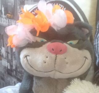 Oh, dear Roland, my love! Look at you waiting patiently for my return, wearing my Koningsdag flowers (see the Benelux Edition), unbeknownst to you, I shall die at sea! Oh, dear Roland, my love! Look at you waiting patiently for my return, wearing my Koningsdag flowers (see the Benelux Edition), unbeknownst to you, I shall die at sea! But then we were free, we were now walking along a coastal path where there were runners and cyclists and people with dogs. This is more like it, even if I can see water again. It’s no longer the River Liffey, oh no, this is the one, the only, the fearsome Dublin Bay. And beyond that lies… the sea! We strode along this path until we turned a corner and there was our quarry! The Poolbeg Lighthouse. We could pounce, and we could CATCH IT! No escape now lighthouse! We could see it stretching far out to sea on a long, thin arm. We rounded a few more corners, passed another lighthouse which wasn’t our quarry and took our first steps on to the arm. Oh, sweet hummus! This arm is indeed very long and thin. It is quite windy (blowing us out to sea) and there is nothing in the way of safety rails. Tell Roland I love him, we’re going to die! 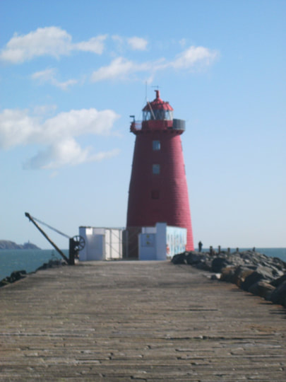 We have arrived! We didn't die and the lighthouse is ours! We have arrived! We didn't die and the lighthouse is ours! We walked along the scary arm. And kept walking. And walking. We are still walking. A ship overtook us, the wind was pushing us to the side of the arm. Charlie, stop looking like you’re enjoying this! Oh, finally, we’ve reached the lighthouse, now we can go back. But of course, 25 minutes after we first caught sight of the Lighthouse on the Edge of the World, Charlie insisted we take pictures, sit down and eat, of all things, the second half of the peanut butter and jam sandwich cookie we bought in 387 Ormeau Road yesterday. The first half was eaten last night, by the way. And so, with me still fearing for my life, we sat down on the very edge of the arm, Charlie’s feet actually dangling over the edge and watched the ship that overtook us disappear over the horizon and into the land of Here there be Monsters. Ok, that would more likely be the case if we were on the other side of Ireland, facing America instead of England, Wales and the Isle of Man, the latter of which the ship was probably going to, judging by the three legged symbol on the side. Whilst Charlie’s eating, let me tell you about the almost-pink lighthouse we came all this way to see. The lighthouse was built at the end of the Great South Wall, following a decision by the Ballast Community in 1761 and was completed in 1768. In 1813, they decided to make the lighthouse even bigger, it is now 63 feet tall. This lighthouse was a bit of a precedent setter, it was the first of its type to be lit by candles and then became one of the first to be lit by oil in 1786. Now, naturally, it is run on electricity, and has done since 1964, it gives two red flashes every 20 seconds. As of 1964, there has been no lighthouse keeper. I was pleased to discover there is a lighthouse authority called the Commissioners of Irish Lights who are in charge of annual inspections. Finally, Charlie allowed me to go back to solid Dublin ground, away from the terrifying Lighthouse at the Edge of the World and all its surrounding water. 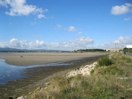 Back at the Bay where we achieved relative safety Back at the Bay where we achieved relative safety When we were back to not being able to see the Lighthouse at the Edge of the World, we climbed down the rocks (oh no, back towards the water) and wandered on the sand. Charlie might be used to the coast, but this is just too close to the water for me to like. Although sand is quiet cool, just don’t let it touch me, and there’s too many dogs around. We trooped back to the Grand Canal via two parks and the rather lovely Irishtown Nature Park to avoid the industrial estate. The first park was named after someone called Sean, so I approve of the Irish-ness. We crossed the Canal at the south end this time, via a car bridge and settled down for lunch beside it – why, oh why? I lament. The canal is pretty large, we watched a person use some jump ramps to do what looked like wake-boarding without the boat and a paddle board lesson where many teenagers fell in the water. Free entertainment! Lunch finished, we headed back over the River Liffey (water, leave me alone!) to the Rollin’ Donut, where Charlie bought a ginormous coffee and hazelnut doughnut. It was amazing! 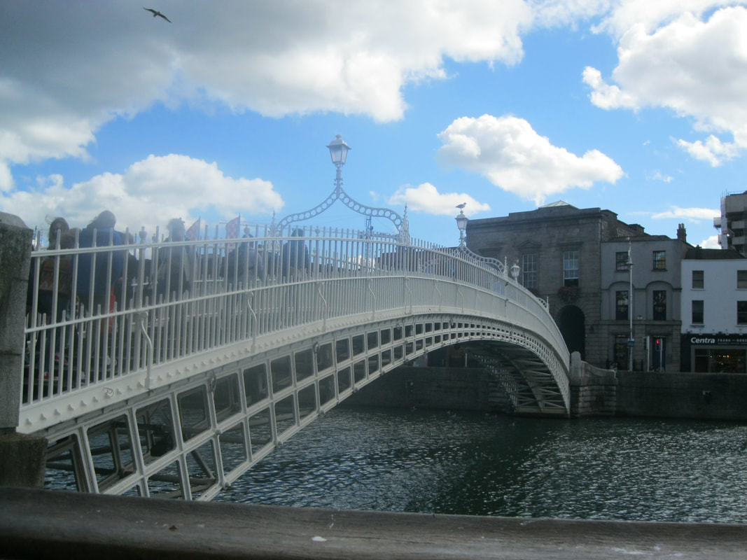 The Ha'penny Bridge, d'you think I could reintroduce the tolls? I could use it for travel money The Ha'penny Bridge, d'you think I could reintroduce the tolls? I could use it for travel money Now onto some serious sightseeing. If this was a Hollywood film, there’d be shots of us appearing all over the city, posing and buying stupid hat-based souvenirs, but it’s not so there isn’t. First, we crossed the Ha’Penny Bridge, so named as this used to be the toll to cross it. No longer, we were now free to tromp across it as many times as we like (once was enough). It also had many other names, including the Wellington Bridge (its original name, after the Duke of Wellington), the Penny Ha’Penny Bridge (because the toll once rose to this eye-watering amount), the Liffey Bridge (its official name, no prizes for guessing why) and Droichead na Leathphingine (its Irish name). The bridge was created in 1816 to replace the ferries, run by William Walsh, which were in poor repair, under the ultimatum of fix the ferries or build a bridge. The toll was set at half a penny as this was the ferry price. Apparently, if the people of Dublin ‘objected’ to the bridge or the money, it would be removed, but they obviously liked it as here it remains. Walsh was allowed this toll for 100 years (did they expect the ex-ferry driver to live this long?) and the toll was eventually scrapped in 1919. Interestingly, the bridge’s bicentenary in 2016 was celebrated with a procession over the bridge. The Ha’Penny Bridge led us neatly into Temple Bar, a road culminating in Temple Bar Square, full of funky old shops and drinking establishments, including a bar called, you’ve guessed it, the Temple Bar. 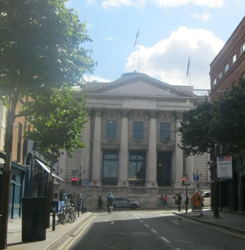 A quick stop at City Hall first A quick stop at City Hall first From here, we crossed to Dublin Castle. Sadly (for me) this was a modern courtyard-style palace castle, not unlike many we have met in continental Europe on my previous travels. There wasn’t a single cannon! A wonderful turret and an old chapel did remain, which we viewed from behind where we discovered a collection of eclectically painted buildings and the Dubh Linn (that’s Dublin in Gaelic) Memorial Gardens. Gaelic is everywhere, while we are on the subject. And I like that in most places, it comes before English, unlike in Wales where it's a bit random if Welsh or English appears first. I’ve learnt a Gaelic word, go mall, it means slow, which in Welsh is araf. Dubh Linn means ‘black pool’, as the Poddle Stream meets the River Liffey at the site of Dublin Castle, not that we saw the pool they are supposed to make. Interestingly, Dublin’s modern Irish name is Baile Áth Cliath, which means ‘town of the ford of the hurdles’. I don’t even know what that means! If you remember my discussion of the Irish provinces yesterday, you may care to know Dublin is in the province of Leinster. If you didn’t care, you know now anyway. Language and geography lessons over, back to the original subject matter. We wandered around the gardens where I made a new friend, crossed a bridge (this one was over a road, not more water, I’m glad), re-crossed it and set off in search of St Patrick’s Cathedral. We spied another cathedral on the way, so went to Christchurch first, then onto St Paddy’s, which has some nice gardens. We sat here and relaxed for a little while before we decided on where to go next. 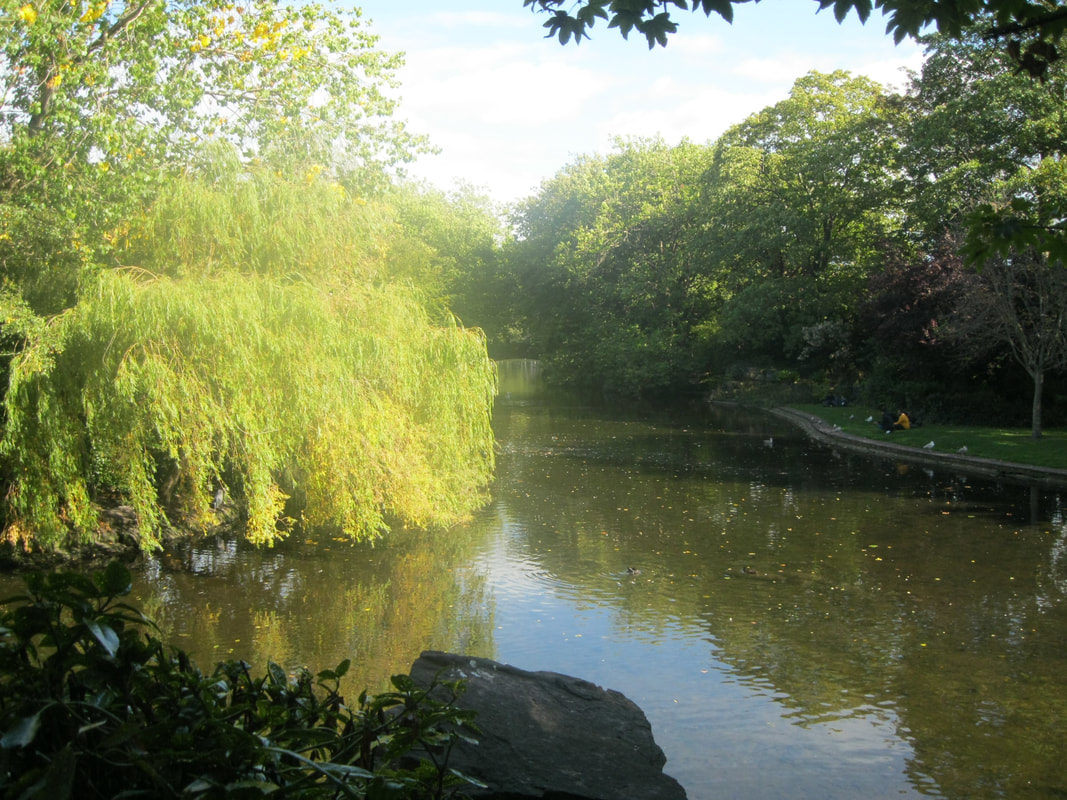 Ok, even I'll admit this is a nice view Ok, even I'll admit this is a nice view After some deliberation, we walked through St Stephen’s Gardens and decided to go to the Natural History Museum, known locally as the Dead Zoo as it’s full of stuffed animals and skeletons (the Victorians at work again). It was a little disturbing and made us both sad how many animals had been killed (mostly in the Victorian era) for fun and scientific study. Some of the skeletons of marine mammals were from animals who had been stranded and become beached. The ground floor was dedicated to Irish animals, the first floor was animals from all over the world. Then we went to have a sit and read in Merrion Square Gardens. In only a short while, we were off to dinner, tonight it was at Umi’s Falafel. Mm-mm! 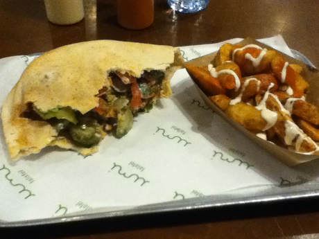 Dinner, slightly nibbled! Dinner, slightly nibbled! Charlie ordered the Palestinian falafel sandwich (hummus and falafel with cucumber, gherkins, tomatoes, fried aubergine and tahini sauce in a pitta pouch) with batata hara – spicy chips. Charlie added chili sauce and more tahini sauce to these. The meal went down well, but now it was time to catch the 747 Airlink Express to the airport. But first, there was just time to return to the Rollin’ Donut for another circle of doughy joy! Charlie grabbed the last(!) vegan doughnut (vanilla glaze with raspberry) and headed back to the bus stop. There was some kind of protest going on in the city (it did seem rather full), which held up traffic, but not much in the case of our bus. Soon we were out the city, through the Port Tunnel and bam! We arrived at the airport. Thinking the protest would have held up traffic for a bit longer than it did, we were at the airport two and a half hours before the flight was due to depart. Oops. We went straight through security with Charlie’s bottle of water still in our bag with me. While Charlie was drug swabbed, our 100ml+ bottle of water passed through the scanner unheeded. We sat waiting for the gate for nearly an hour and a half. In the time it’s taken me to write this, the gate should be up, so I’ll finish my Tail later. Bye for now. Ok, I’m back. We got to the gate quickly, but then the flight was delayed, by about forty minutes. To console ourselves, we sat and enjoyed the raspberry doughnut and then waited some more. So we read Charlie’s book. Finally, our plane arrived and the pilot informed us ‘Stansted’s a mess’, hence why they were late arriving. One can’t argue with brutal honesty, so we settled down into our seats, had a flapjack to pass the time whilst the plane prepared to depart and then slept through the short one hour flight. Finally we touched down in Stansted (no Ryan Air fanfare this time) and again didn’t have to pass through customs. Ireland is part of the Common Travel Area, along with the rest of the British Isles so we can fly in and out of Ireland without customs checks. I can’t help thinking that might change after Brexit. Anyway, that’s not my problem, time for a sleep now, where’s Charlie’s Interrail blindfold? That’s it, the end of my adventures in Belfast and Dublin. Try not to miss me too much and I’ll see you soon, hopefully.
Until the next adventure, Chesh.
0 Comments
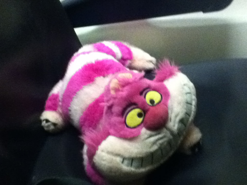
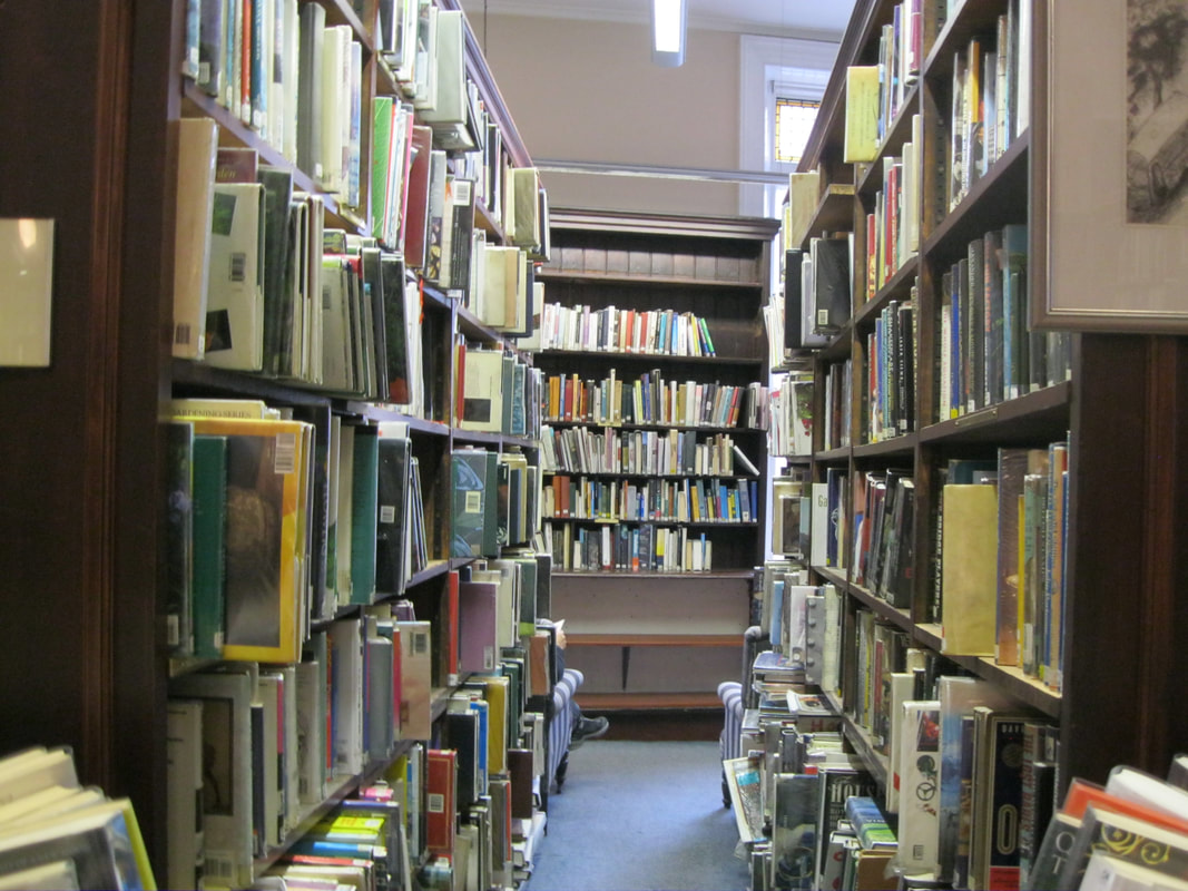
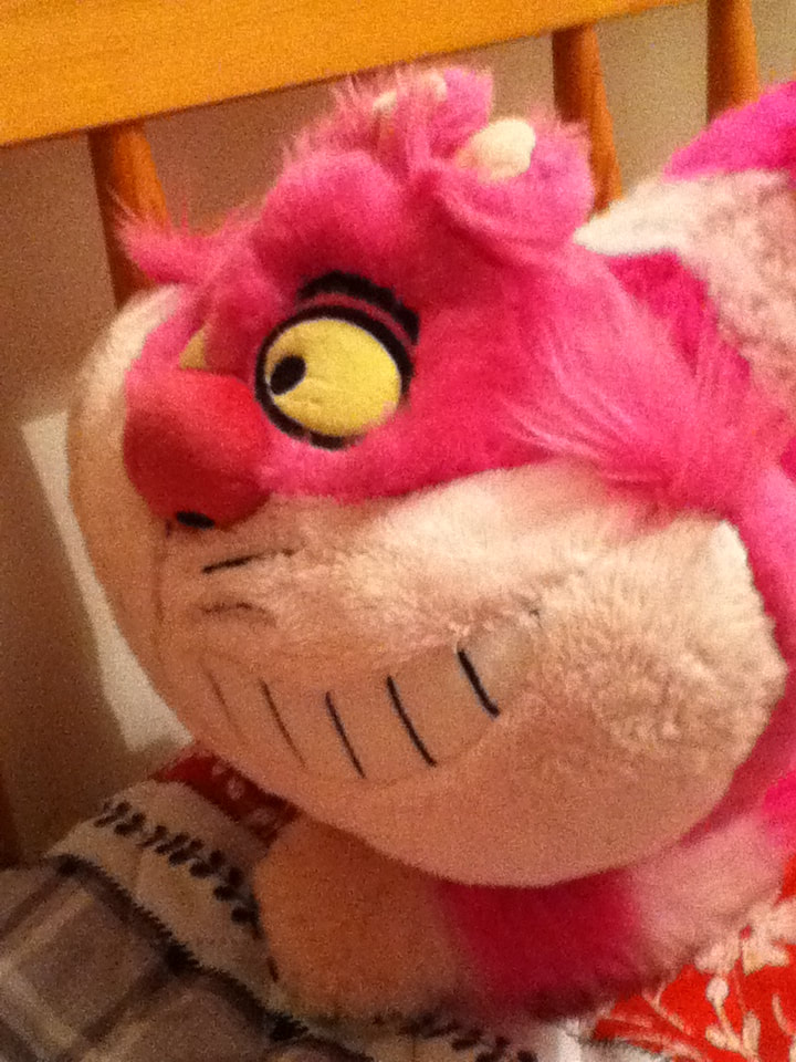
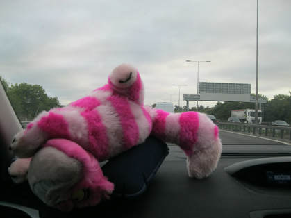 Stuck in traffic - am I using this travel pillow right? Stuck in traffic - am I using this travel pillow right? Greetings, humans! Off we go on another adventure, armed with only a rucksack, compass and map. Who needs the Internet? We are all powerful, we can navigate any terrain! Find any historical landmark! Anyway, we went to Belfast. And what adventures we had! Just Charlie and I, which means there was a lone human in charge of directions (not my job). And did we get lost? Not once. Yet anyway, we haven’t got to the AirBnb at the time of writing this and then tomorrow morning we have to walk to the station for our train (ooh, train!) to Dublin. Sorry, spoilers. Well, let’s keep with today, shall we? What did my lone human and I, a single pink cat, get up to in Belfast? I’m going to tell you, so that’s good, isn’t it? Uh oh, rain stopped play. I will continue when we’re under cover. Ooh, the suspense… Ok, well it didn’t actually rain too hard or too long. In fact, by the time Charlie was bedecked in a rain coat and our writing implements were packed away, it had stopped. But it turns out I’m not the only one allergic to water falling from the sky, Charlie’s pen refused to write as soon as the first drops made contact with the paper. To protect me (and the pen) from future downpours, we decided it would be wise to head for the AirBnb, a little earlier than planned. Sorry, I’ve got side tracked, you wanted to know what I’ve been up to today. It was 5:45am. I was sleeping happily, dreaming of a pink and purple stripy cloud on which I was floating when BUH-BUH BUH-BUH, BUH-BUH BUH-BUH. The earth-shattering, ear-splitting cry of the all-too-commonly spotted alarm clock. Why can’t we wake up to music? There are two reasons for this – the alarm clock-iPod dock combo Charlie used to have broke and the radio function on the current alarm clock gets nothing but static. On every radio station. Oops, side tracked again. Ok, we were up and about, much too early, in the car at 6:00 and off we went. Can you believe at this time in the morning there was already traffic? We should have arrived at Stansted around 7:30, but it was more like 8:00 by the time Charlie’s mum ejected us from the car and sped away like a fugitive in an effort to avoid paying more than the extortionate £3.50 express parking already costs. (I’ve been polishing up on my creative writing skills recently – does it show?). We discovered the first entrance door was broken (great start) and headed for the next door. This one was functioning and wasn’t one of those revolving doors so no one got stuck, which is always entertaining, I’m sad I didn’t get the opportunity to witness such an event. We marched straight to security, no hold luggage to drop off and we had already checked in online (it costs £50 to check in at the airport, can you believe?) and we sailed our way through, strutting like the Giraffamingo in those phone adverts. Charlie didn’t get stopped and I passed through the X-ray machine unhindered. We had now entered the dangerous world of Duty Free. Here, Charlie bought some water (thrilling, I know) and had a lovely coffee shop fill an empty bottle from home with tap water (for free, I might add). If we’d known they would agree to do this, we would have brought more empty bottles. Think about it my friends, think of the pollution-filled oceans our water-dwelling friends have to live in (I mean, I prefer not to, you know my thoughts on water, but someone’s got to do it). Imagine if everyone who flew brought an empty bottle to be filled with tap water rather than buying bottled water, how many plastic bottles, which are often used once and thrown away, would we be saving? Think of the turtles and fish and dolphins and whoever else is in the sea. And if that doesn’t do it for you, think of the money you could save! The bottle Charlie bought cost £1.35 and that was the cheapest, the ex-student shopped around. In W H Smith’s, they were selling the same bottle for £2! Ok, environmentalism rant over. We made it from drop off to departure lounge in record time – 23 minutes to be precise, I know these details matter. Now, to sit back and wait for the gate to be announced at 8:40. During this time, Charlie tried and failed to connect to Stansted’s Wifi, was the issue Charlie’s dilapidated old iPod or Stansted’s Wifi? Hmm, tough one. While we’re waiting, let me impart some exciting knowledge for those of you who want to travel on a budget. This flight we are currently waiting for cost Charlie just £7.33. That’s because we had no need for hold luggage (as I explained earlier) and we bought the ticket on sale. Flying on a Tuesday probably helped a bit as well. Anyway, soon, we were on our way to Gate 83 where the previous flight to Murcia (I don’t know where that is, but Google tells me it’s ‘a university city in southwestern Spain’, so there you go) wasn’t even boarding yet. Finally, they were off, our plane had arrived, the people arriving from Belfast had disembarked and, slightly later than billed, we were boarded and into the air by 10:03, not 9:40 as planned. However, Ryan Air add extra time onto their flight so despite taking off 23 minutes late, we still landed dead on time at 11:05 and were greeted by the Ryan Air fanfare (scary stuff). 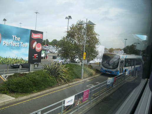 A rather uninspiring view with which to begin our Belfast adventure - the sights from the 300a A rather uninspiring view with which to begin our Belfast adventure - the sights from the 300a But we’ve made it! No customs (internal flight, remember) and no baggage to reclaim, we sauntered out the airport to catch our bus into town, which was right outside. Oh, sorry, I’m travelling with a human. We had to have a toilet break. Ok, now we were outside and on the lovely fancy 300a which took us straight to Belfast. Charlie was all ready to go with the £3.50 day card, but quickly learnt the day card only covered the city and so we paid £8 for a single ticket to the city (good thing Charlie had emergency cash – life lessons, folks). The 300a took us passed St Anne’s Cathedral (aka Belfast Cathedral) and on into town. But Google Maps lied! It told us to get off at Donegall Place, but this bus didn’t go to Donegall Place, did it now? No matter, we disembarked at the Europa Bus Centre and quickly acquired a free (probably, if not we’ve become accidental shoplifters) map of Belfast in the back of a city guide. A very useful guide, it later turned out. 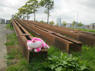 Ooh, what are these? Let me pose Ooh, what are these? Let me pose We discovered we were but a short walk from Wellington Place where a G2 Glider bus (also fancy, it was a bendy bus and violently purple – I approve) was ready and waiting to take us to Titanic. By which I mean the Titanic Quarter, where the infamous ship was built. Belfast has a long ship building history, don’t you know? No? Well, you do now. We explored the dock end of the River Lagan, lined with cargo vessels and ship loading equipment. Or rather, Charlie explored, I elected to stay in my bag. Until I found these rather stunning objects, of course. Not quite a cannon, but good enough. It was a wee but windy out here though, all exposed to the, well, wind. We then met SS Nomadic, White Star Line’s only remaining ship (or something like that). You could pay to enter, but we could see it well enough from the outside (for free). I have mixed feelings about this boat (or is it a ship?) – it is a historical artefact and so I must love it, but it was built to sail on my least favourite of the four natural elements (water), even if it was trapped in a dry dock. Not very nomadic, is it? Ironic. 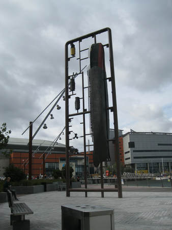 So we looked at this during lunch So we looked at this during lunch Well, moving on! After the Nomadic, we settled down for an early(ish) lunch, overlooking more of the river (why?). At least there were some interesting birds for me to observe. After lunch, we headed down to the Lagan Footbridge, which allowed us to cross the River Lagan (oh, horrors). Luckily, it was quite sturdy and no one fell in. We discovered a big fish sculpture on the west side called Big Fish. Imaginative. After pausing for a photo opportunity, we continued walking west where we discovered the Prince Albert Clock. This was dedicated to the Prince Albert who was Queen Victoria’s husband (have there been any other Prince Alberts?) which is a clock tower that bears a passing resemblance to Big Ben. It is also apparently leaning like that well known tower in Pisa, but that wasn’t apparent until we continued into the High Street and looked back at it. Ah, this is better, warmer and away from the water. 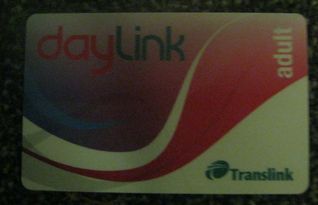 Ah, our wonderful day card! Ah, our wonderful day card! The High Street merged into Castle Place (where a castle no longer stands – sad times), to catch a bus to the Peace Wall. Unfortunately, due to a recent fire in the old bank building (most recently a Primark, you probably saw it on the news), the buses weren’t running down this road as it was closed. A laminated sign tacked to the bus shelter informed us the buses were departing instead from North Street. In no time at all, we had located North Street on the Super Helpful City Map (SHCM for short) and we were waiting at our third bus stop. The bus (an 11a this time) arrived within a minute to take us to the Peace Wall on Cupar Way. We disembarked on the Shankill Road (in the Shankill Quarter) and walked to Cupar Way. Whilst we are walking, let me elaborate on the historical significance of Shankill. Shankill is an Anglicised version of Seanchill, which means Old Church. The old church in question was The Church of St Patrick of the White Boy (an interesting name) and may have been built in the fifth century. The River Farset also ran through this area (it’s now confined to a tunnel under the High Street, and best place for it in my opinion) which gave the city its name. Belfast is a version (again Anglicised) of Beal Feirste which means Mouth of the Farset. The Shankill Road was built in the 16th century, but the area grew in the 19th century when the linen industry boomed. Apparently a lot of the flax used for this industry came from Belgium and there are a lot of streets named after this country. Falls Road, another main road in Belfast runs almost parallel to the Shankill Road and while the Shankill Road was dominated by Protestants and Unionists (on which more later), Falls Road was largely Catholic. During the Troubles (which, again, I will explain during our visit to a library later. I love libraries!), these two roads created a lot of tension and this area became the scene for many outbreaks of violence. These included the Shankill Butchers who kidnapped and murdered suspected Catholics, despite eight of the 23 they murdered being Protestants, whoops! My grateful thanks goes to https://theculturetrip.com/europe/united-kingdom/northern-ireland/articles/how-did-the-shankill-road-become-northern-irelands-most-notorious-street/ for this information. Well, that brings us nicely to the Peace Wall. Not long after joining Cupar Way, we found the start of the Peace Wall, a road-long memorial to all the divided countries, cities and people around the world. Over and around the memorial, decades (probably) of visitors had left messages of love, hope and friendship. Artwork dotted the wall, which was almost literally the length of the street (I wasn’t exaggerating earlier). The messages were small, crammed together, covering every inch of the wall as far up as people could reach. It was fascinating and oddly moving. People from so many countries (lots from Canada for no obvious reason) had wanted to reach out to others with friendship. We thought about adding a message, but unable to think of anything which hadn’t already been said and lacking anything more robust than a biro, we decided not to. 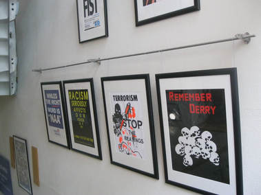 A selection of just some of the posters we saw A selection of just some of the posters we saw Having reached the end of the Peace Wall and Cupar Way, we caught a number 10 bus from Falls Road (the same one described above, although at the time we knew nothing of its cultural significance, if we had we might have done things differently, such as take some pictures). This bus took us back into the centre of town and straight to the Linen Hall Library. A library! Yes! This might genuinely be the best thing I have ever done on a trip! Apart from sitting on cannons, perhaps. The library was six storeys tall, the middle four housed an exhibit of Northern Ireland conflict posters from the Troubles on the lovely old-fashioned stairs. I wrote this section up listening to Irish rebel songs - I suggest you listen to some whilst you read this, you can fully immerse yourself in the history experience. I'm sure you can find them on the Youtube, or perhaps Spotify or other streaming services. Right, now might be a good time to explain a bit more about the Troubles, especially for the younger readers who, like Charlie, weren’t born during most of the Troubles. I will try and be succinct, as I know some of my readers will know this stuff, ergo: The Troubles began in the late 1960s, but divisions in Irish and Northern Irish society began long before that. In 1801, the whole island of Ireland (Northern Ireland didn’t exist at this point), became part of the United Kingdom. However, the practice of Home Rule, greater political autonomy from the rest of the UK, in Ireland was in force. The people of Ireland could be divided largely into two groups: Unionists want to remain part of the UK, they are largely Protestant, and unionist extremists are known as loyalists. Nationalists, conversely, want all of Ireland to be separate from the UK. They are usually Catholic. More extremist nationalists are known as republicans. Political parties including Sinn Féin and Fianna Fáil are nationalist. The 32 County Sovereignty Movement don’t contest elections but are a political pressure group for the reunion of all 32 counties into Ireland. Following the Irish War of Independence in 1919, Ireland gained independence from the UK in 1921, originally calling itself the Irish Free State, but now is the Republic of Ireland. At this point, Northern Ireland was born, although its border created great tensions. Ireland had been divided into four provinces: Connacht, Leinster, Munster and Ulster. The first three remained part of Ireland, but Ulster was divided across the border. Six of the nine counties became part of Northern Ireland, the other three remained in Ireland. Some unionists felt betrayed by the division of Ulster, some Catholics already claimed they were being discriminated against. These ongoing contentions led to the start of the Troubles in the late 60s, continuing for three decades. The mid-1960s saw the government launch plans for a more equal society between unionists and nationalists, but this backfired and led to the start of a civil rights movement, with loyalists attacking Northern Irish infrastructure and rioting, particularly in Derry and Belfast. In fact, even Derry’s name was contentious, I’ll explain later when I discuss some of the Troubles posters. The Irish Republican Army (IRA) were behind (or at least blamed for) many of the nationalist violence. They felt their desire of uniting an independent Ireland could only be achieved through violence. The original IRA were first heard of in 1866-71 where they attacked British areas in the US and Canada to pressure the British to withdraw from Ireland. The Original IRA then didn’t fight in WWI, but fought in the Irish War of Independence instead. After 1921, the IRA split into two factions: the National Army and the anti-treaty IRA. The Irish Civil War of 1922-3 was lost by the IRA, who refused to acknowledge either the Irish Free State or Northern Ireland, claiming they were both created by British imperialism. Another split in 1969 created the Official IRA, who were Marxist, their political wing became Sinn Féin, the Workers’ Party of Ireland and the Provincial IRA, whom then split into the Real and Continuity IRA. The Royal Ulster Constabulary (RUC) was the police force in Northern Ireland from 1922-2001. 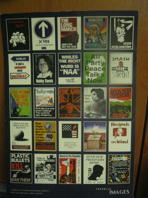 More Troubling posters More Troubling posters Well, there you go, hope you haven’t been bombarded with information! I’ve left the descriptions of the posters as captions to the pictures in the slideshow below (in chronological order of course, the only logical way to study history) so you don’t have to wade through every explanation and can just pick the ones you are interested in. Bonus points if you’re interested in all of them. Bonus points can be redeemed as my eternal good will. Oh, I was going to explain the (London)derry deal, wasn't I? Well, it was generally called Derry by nationalists, Londonderry by unionists. It's legal name is Londonderry but is in the government district of Derry and Strabane. (London)derry is a shibboleth which means a person's use of either word denotes which side of the debate they are on. It's name was less contentious before the Troubles, when Londonderry was often informally called Derry in NI. This all changed in late 60s. Information credit to: www.dividedsociety.org and www.culturenorthernireland.org/features/heritage/troubled-images-posters-1-10. Your hard work is appreciated, it makes my job much easier! 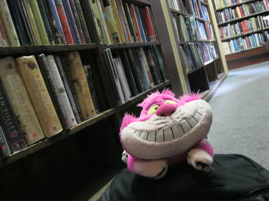 Books!!! I'm so happy. Can you tell? Books!!! I'm so happy. Can you tell? After all that history, we went into the library itself and oh! It was beautiful, row upon row of books in proper wooden bookcases, stretching high to the ceiling with narrow gaps between the rows. I did look for books featuring yours truly, but alas, no Jasper Fforde books (at all!) and Alice in Wonderland wasn’t in the general fiction section. I suppose it might have been in the children’s section, had I deigned to look there. My escapades in that book are a tale for all ages and should not be confined to age-related separationist policies. 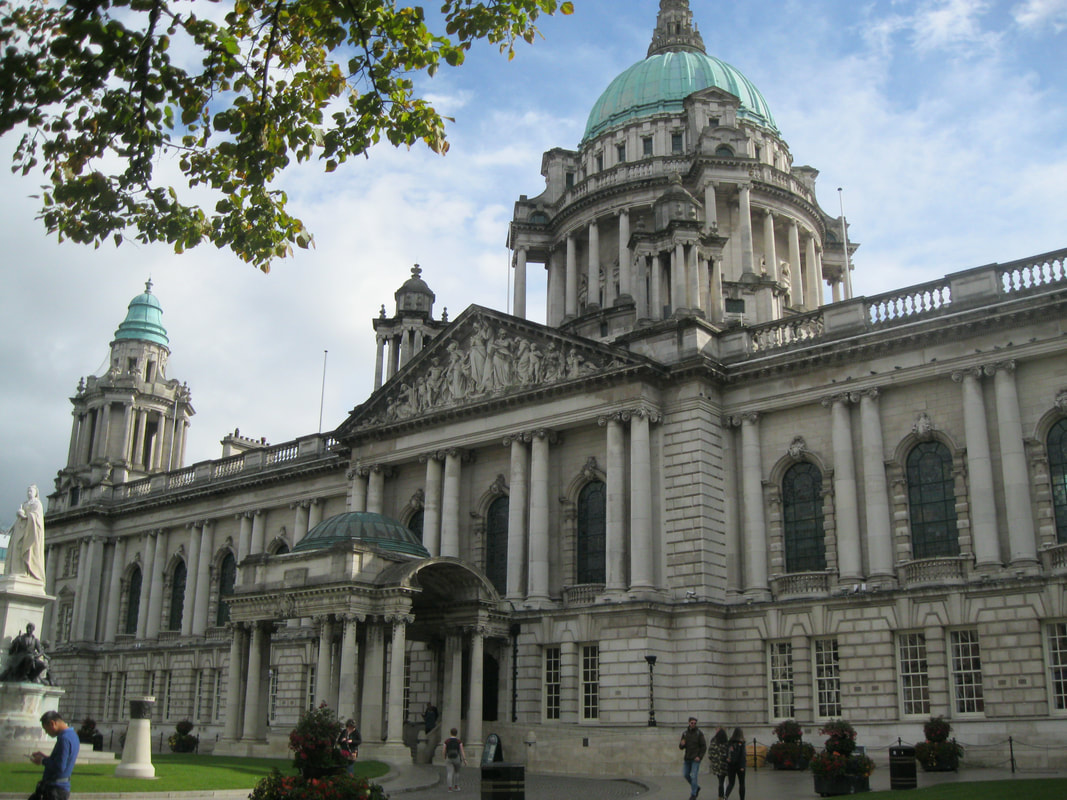 City Hall, this building is huge! City Hall, this building is huge! Well, I think you can see I enjoyed that experience. Next up was City Hall and the Titanic Memorial Gardens. Another moving occasion. Here we saw a memorial to all 1,503 people who died on the Titanic on 15th April 1912. This monument was on the east side of City Hall. On the west as an art installation, commemorating the 3,775 WWI soldiers of the Ulster and Irish regiments or from Belfast who have no known grave but died in the Somme. There was also a monument here to the fallen soldiers of the Korean War. Next, we wandered down to the Ulster Hall, but discovered it was basically a concert hall and not having the time (or budget) to watch a show, consulted our trusty SHCM and decided we would like to go to the Botanic Gardens and Ulster Museum next to Queen’s University. 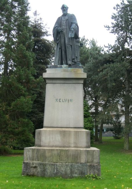 Greetings, Kelvin. How are you on this fine day? Or should I say 'Top of the morning to you?' Shame it's afternoon. Is the correct phrase in this situation 'Top of the afternoon?' Such questions of social convention... Greetings, Kelvin. How are you on this fine day? Or should I say 'Top of the morning to you?' Shame it's afternoon. Is the correct phrase in this situation 'Top of the afternoon?' Such questions of social convention... Here, we wandered through the Rose Gardens and the tree lined paths. We visited the rather warm Victorian Palm House, a bit of a glorified green house, or perhaps a conservatory as it was attached to another building. As if that wasn’t hot enough, we then visited the Tropical House. Baking, even in the Temperate Room. In the days of the last Ice Age, Ireland was attached to Britain, which in turn was attached to continental Europe. Following the Big Thaw (or whatever it was called), the islands were created, meaning many of the plants recolonising Europe from the warmer south never made it to Britain and even fewer returned to Ireland. And so entered our Victorian friends. They decided we needed these plants in Belfast and created a big, hot house for them. How considerate. I think. 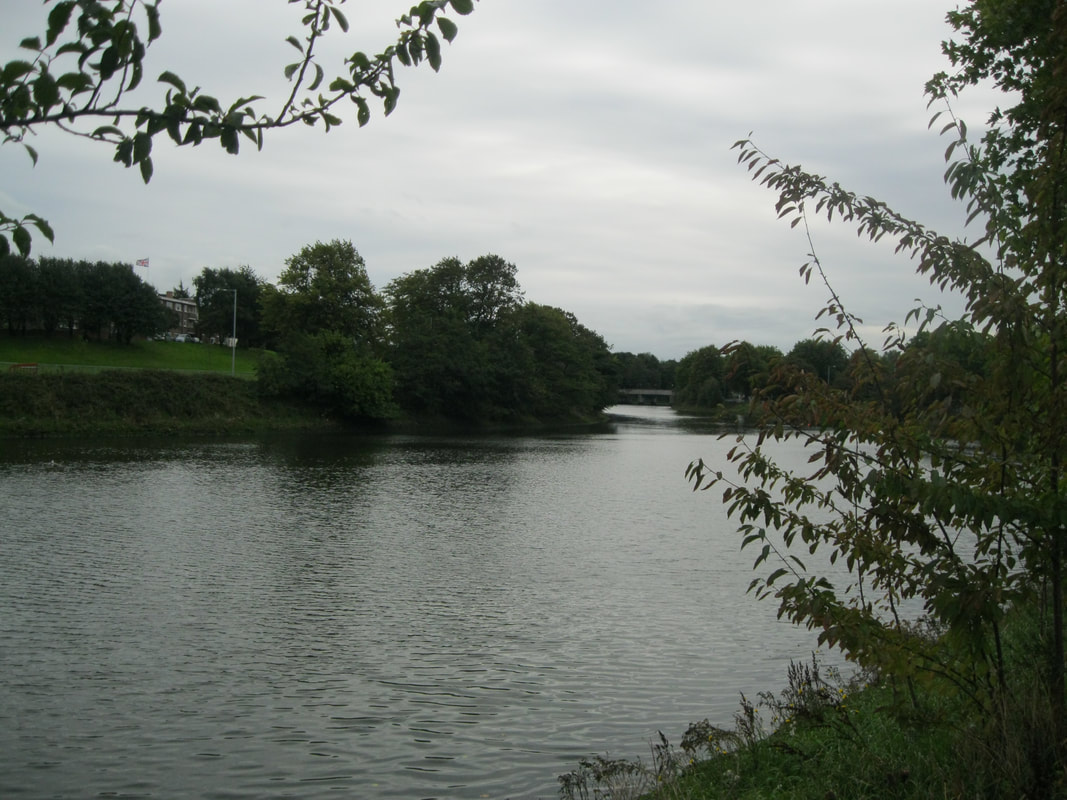 Oh, the river is back. That's not the Ormeau Bridge in the background. I'm sure it has a name, but alas, I know it not... Oh, the river is back. That's not the Ormeau Bridge in the background. I'm sure it has a name, but alas, I know it not... We then decided it was dinner time. Slightly early, but the place we had selected (based on the amazing pictures of its cakes on Happy Cow) closed at 6:00 and last orders for hot food was 5:30. We crossed the terrifying River Lagan again over the big Ormeau Bridge to dinner. The café was called 387 Ormeau Road and dinner was delicious! Charlie ordered a sausage and tofu ‘egg’ toasted bagel sandwich with sriracha. It was delicious but so large and slippery even my die-hard I-will-never-use-cutlery-for-a-burger Charlie had to admit defeat and get the knife and fork out. This went down a treat, along with a superb peanut butter and chocolate milkshake and pudding was ordered quickly. Charlie chose a large, heavily buttercream-ed slice of Victoria sponge (unconscious tribute to the Victorians of the Botanic Garden perhaps?) for now, and a peanut butter and jam sandwich cookie for later. The Victoria sponge was amazing, the buttercream perfectly vanilla-y. Charlie ate it whilst reading a book, behaviour I highly approve of. The two serving staff kindly let us stay after six whilst they were cleaning up. Charlie then had a good long conversation with them regarding Happy Cow and things to do in Dublin. They suggested a walk to us, but it is a little out of the way. Will we have time? It remains to be seen. They also gave Charlie a free cake as they were finished for the day and couldn’t eat any more cake themselves. We’re not entirely sure what it is (and can’t remember what they said it was), but it has a kind of cakey-biscuity crumbly base with some caramel, nutty goo in the middle and more crumble on top. Food critics we are not, but Charlie thoroughly enjoyed eating it while writing this in the AirBnb.  I hope you approve of this beautiful notebook. It's mighty fine, so it is. I hope you approve of this beautiful notebook. It's mighty fine, so it is. We then walked to the AirBnb, stopping in Ormeau Park where we sat at a bench to start writing this in Charlie's notebook and then got rained on. At least Charlie’s raincoat got an outing and we discovered dog treats in one of the pockets. Well, Charlie’s dog didn’t get to rediscover her birthplace of Ireland, but at least her treats did. And there were too many dogs in this park. Running and barking. Everywhere. We exited the park (goodbye dogs!) and wandered contentedly down several lovely residential streets to the AirBnb. And did we get lost? No we didn’t. Charlie’s meticulous route planning skills and D of E use of landmarks (including Aunt Sandra’s Candy Factory) meant we arrived safely at our destination. Here we met our host’s wonderfully fluffy cat, Saffy and settled into our little room in a terrace house in the middle of a whole-street-long terrace. The first thing I did was make for the window, which I can see out of by sitting on the bed (amazing). Here I watched the sun go down over the little square of garden and small alleyway behind whilst Charlie wrote this up for me and ate the unidentifiable but delicious cake slice. So ends our day in Belfast. Don’t know about you, but I’m knackered. Well, bedtime for me. We’ll be up at the crack of dawn (again!) tomorrow. See you in Dublin. Until then folks. Chesh.
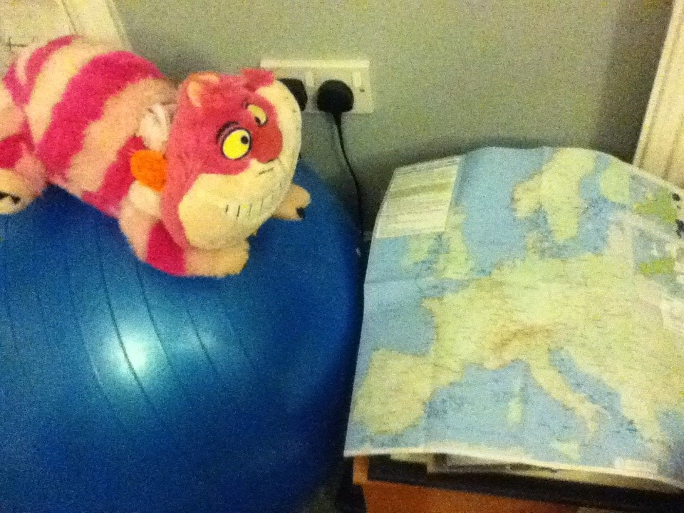
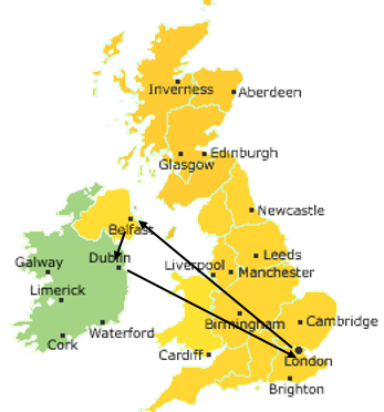 Greetings, humans! Welcome back to the blog! How you must have missed me! It’s been all of, oh, three months, what has occupied your minds since last I wrote? Astonishingly this has been my third holiday this year, I’m a very lucky cat and Charlie is going to be very poor if this carries on... Good thing we’re highly skilled at travelling on a budget. So, where did we go this time? I hear you ask. Well, we first flew to Belfast (which is the capital of Northern Ireland) on an astoundingly cheap flight – on which, more in Day 1 – and from there, we took a quite busy train to Dublin, the capital of Ireland (see my beautiful map). It may have been a flying visit to both cities, but we had a wonderful time and crammed lots in. Not only did we visit lots of places and walk a lot, it was also a very educational visit in terms of history and I’ve been doing lots of research to make sure my historical facts are accurate and therefore actually facts. So, sit back and enjoy this whistle-stop adventure. See you soon folks, Chesh. Ps. The blog's got a swanky new look - who noticed? Be honest... To be fair, it's not that different, I won't be too offended if you didn't notice. |
|
